
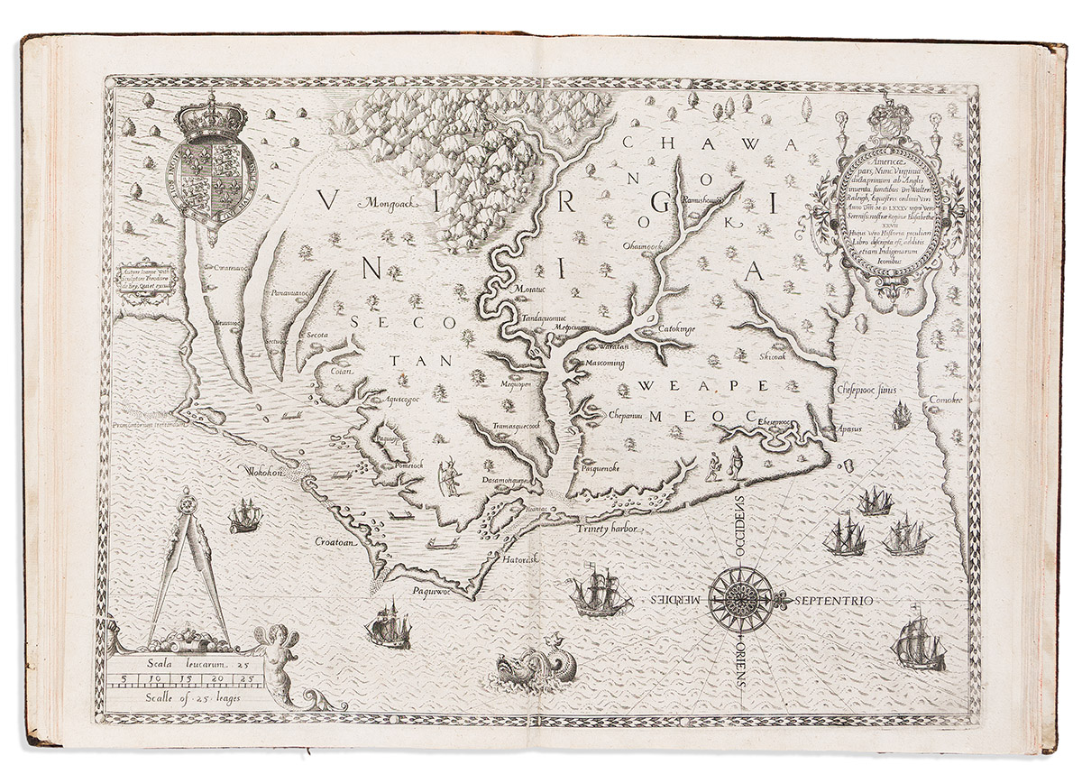
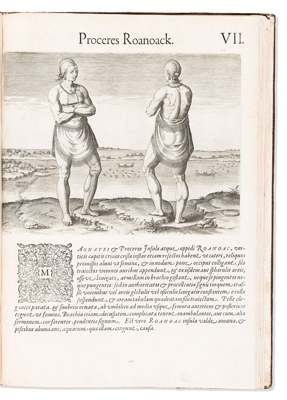
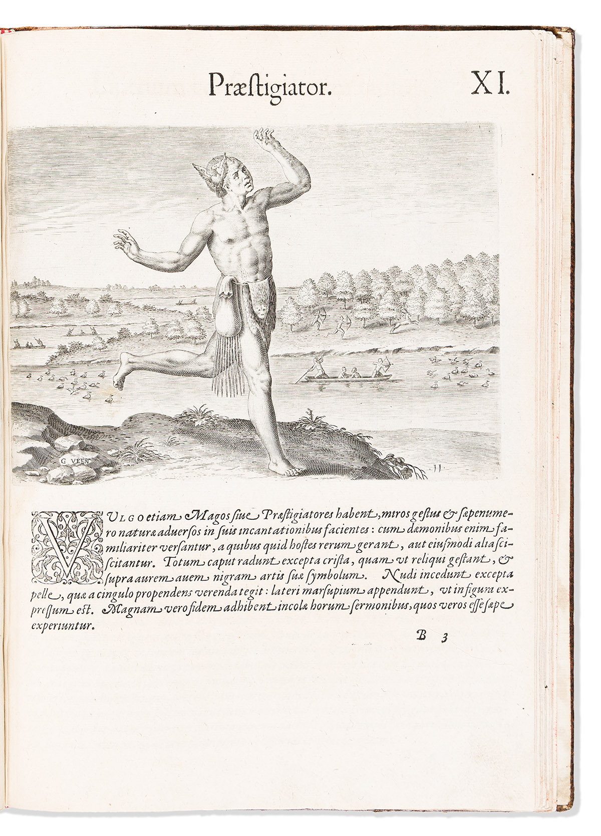
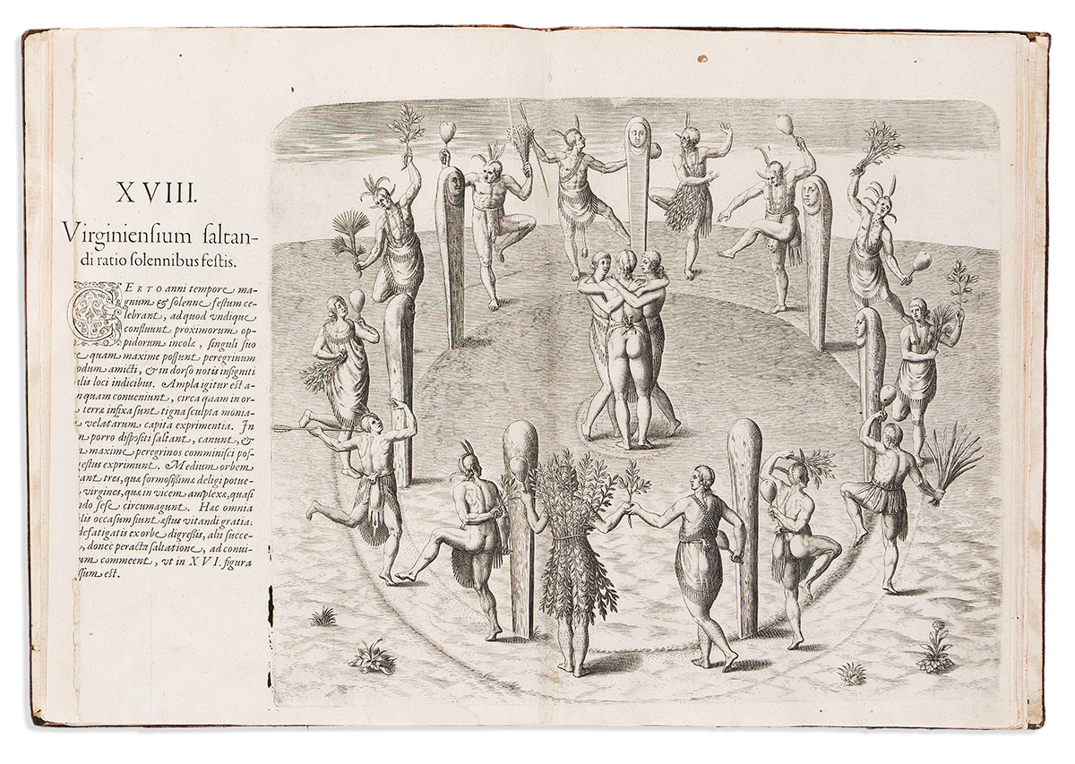
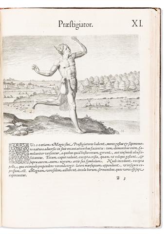
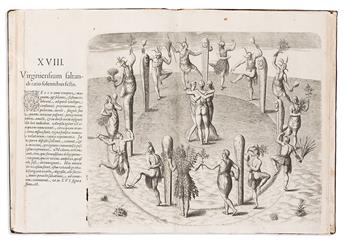
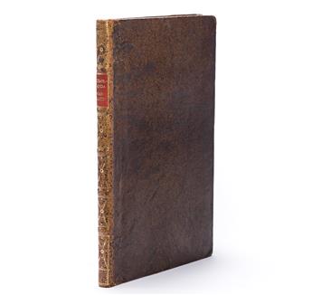
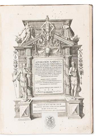
Sale 2708 - Lot 190
Estimate: $ 25,000 - $ 35,000
Additional Details
Also in This Catalogue
-

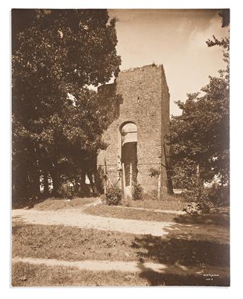 Lot 191(VIRGINIA.) James Mann. Some Old Colonial Churches in VirginiaEstimate $600 - $ 900
 -
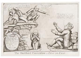 Lot 192(WAR OF 1812.) William Charles, engraver. The Hartford Convention, or Leap No Leap.Estimate $1,000 - $ 1,500
 -
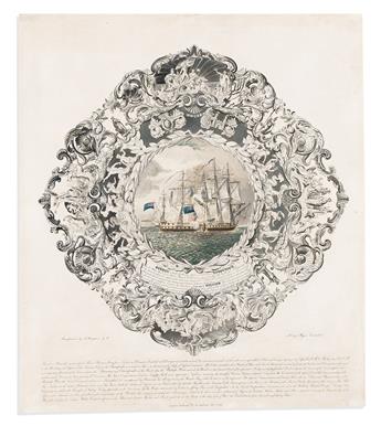 Lot 193(WAR OF 1812.) Henry Meyer, engraver. Struck with the Gallantry . . . in the Attack, Boarding and Capture of . . . the Chesapeake.Estimate $1,200 - $ 1,800